


A tropical storm is brewing in the Gulf of Mexico and could potentially escalate into a low-end Category 1 hurricane by Wednesday, with a projected landfall along the Upper Texas or southwestern Louisiana coasts.
Tropical Storm Formation Expected by Monday
After a relatively calm period, the National Hurricane Center (NHC) has raised the chances of tropical storm development to 90% within the next 48 hours, as of a 10 p.m. CT update on Sunday. This impending storm has the potential to become the sixth named storm of the 2024 Atlantic hurricane season.

Tropical Storm Watches Issued for Southern Texas and Mexico
In anticipation of the storm, a tropical storm watch was issued on Sunday for southern Texas, stretching from Port Mansfield south to the Rio Grande River. This means that tropical storm-force winds could impact the region by Tuesday evening. Additionally, the watch extends southward to the Mexican coast, reaching Barra del Tordo. Residents in these areas should prepare for strong winds and heavy rainfall.
Current Location and Strength of the Storm System
As of Sunday night, the storm system, identified as Potential Tropical Cyclone Six, was positioned about 320 miles south-southeast of the mouth of the Rio Grande and approximately 550 miles south of Cameron, Louisiana. With sustained winds of 50 mph, the system is moving slowly north-northwest at 5 mph. The NHC anticipates that the storm will officially become a tropical storm by Monday, with conditions expected to deteriorate in both northeastern Mexico and southern Texas.
Potential Path and Strengthening of the Storm

If no other systems in the Atlantic develop first, this storm will be named Francine. The NHC expects hurricane watches, storm surge watches, and tropical storm watches to be issued for the upper Texas and Louisiana coasts by Monday. Meteorologists predict that the storm could strengthen into a low-end Category 1 hurricane, with winds reaching up to 80 mph by Wednesday.
Additional Storm Systems in the Atlantic
While Potential Tropical Cyclone Six dominates the immediate attention, the NHC is also monitoring two other systems in the Atlantic. One system in the central tropical Atlantic has a 60% chance of developing into a tropical storm within the next 48 hours, while another further east holds a 50% chance of development over the coming week.
Rainfall and Flooding Concerns
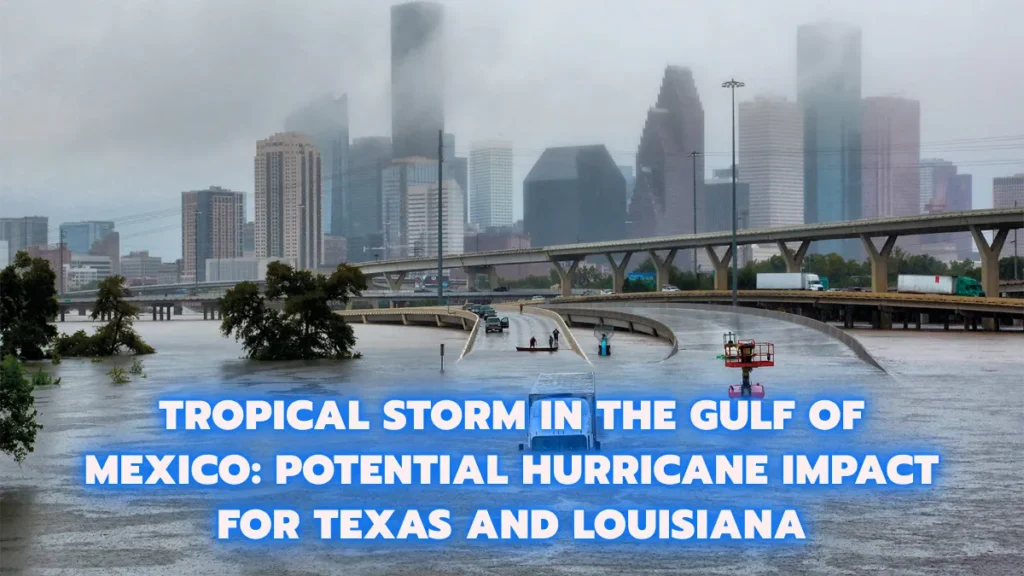
The storm is expected to bring significant rainfall to the region, with forecasts calling for 4 to 8 inches of rain along the coast. Some areas, particularly in northeastern Mexico and along the Texas and Louisiana coasts, could see localized rainfall totals of up to 12 inches by Thursday. This poses a serious flash flood risk, particularly in low-lying areas prone to flooding.
Gulf of Mexico System Could Intensify
The storm system is expected to pick up speed as it moves toward the northeast on Tuesday, driven by a cold front along the Gulf coast. According to Donald Jones, a meteorologist with the National Weather Service (NWS) in Lake Charles, Louisiana, the system could make landfall along the upper Texas or Louisiana coasts by Wednesday. There is also a possibility that the storm could intensify into a Category 2 hurricane, though this depends on various atmospheric conditions.
Warmer Gulf Waters and Hurricane Development
Water temperatures in the Gulf of Mexico are currently warmer than usual, creating favorable conditions for storm development and strengthening. According to the NHC, once the storm system forms a well-defined center, steady intensification is likely. The storm will be moving through an environment rich in moisture, which supports its potential to strengthen further. However, it could also encounter wind shear and slightly drier air, which might limit its growth into a more powerful hurricane.
Preparations and Warnings for Coastal Residents
Residents along the southern Texas, Louisiana, and northeastern Mexican coasts should stay alert and monitor official weather updates. The possibility of a hurricane or strong tropical storm landfall by mid-week underscores the importance of preparedness. The NHC and local weather services will continue to update forecasts as the system evolves, providing guidance on potential evacuation measures, storm surge risks, and flood advisories.
Conclusion
As this tropical system develops in the Gulf of Mexico, it has the potential to become a significant weather event, bringing dangerous winds, heavy rainfall, and possible flash flooding to parts of Texas, Louisiana, and Mexico. With watches already in place and further warnings expected, residents in the affected areas should be proactive in preparing for possible storm impacts. Keep an eye on official updates as the situation unfolds, and take necessary precautions to stay safe.
This storm could serve as a reminder of the volatility of the 2024 Atlantic hurricane season, which, despite a quiet start, now shows the potential for significant activity as the season progresses.